
Optimize Flight with UAV INS
High-precision inertial navigation, engineered for GNSS-assisted and GNSS-denied flight.
Navigation that holds up when GPS fails
The UAV Inertial Navigation System (INS) is a high-performance navigation solution designed to provide accurate real-time position, velocity, altitude, and attitude information for unmanned aerial vehicles — ensuring reliable navigation and flight stability in both GNSS-assisted and GNSS-denied environments.
Engineered for seamless integration with UAV flight controllers, the INS delivers robust performance, low-latency operation, and advanced autonomy — ideal for surveillance, mapping, inspection, and mission-critical aerospace applications.

Key Features of UAV INS
High-Precision Navigation
Accurate real-time position, velocity, altitude, and attitude estimation.
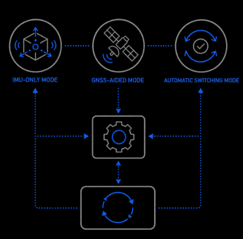
Multi-Mode Operation
IMU-only, GNSS-aided, and automatic switching modes.
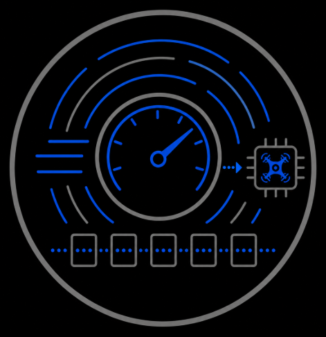
Fast Update Rates
Configurable output rates up to 400 Hz.
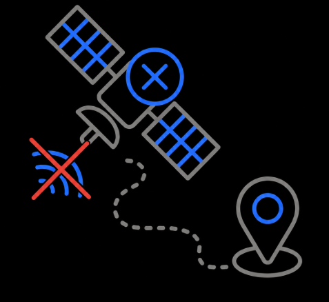
GNSS-Denied Navigation
Reliable operation during GPS signal loss via inertial sensing and dead reckoning.
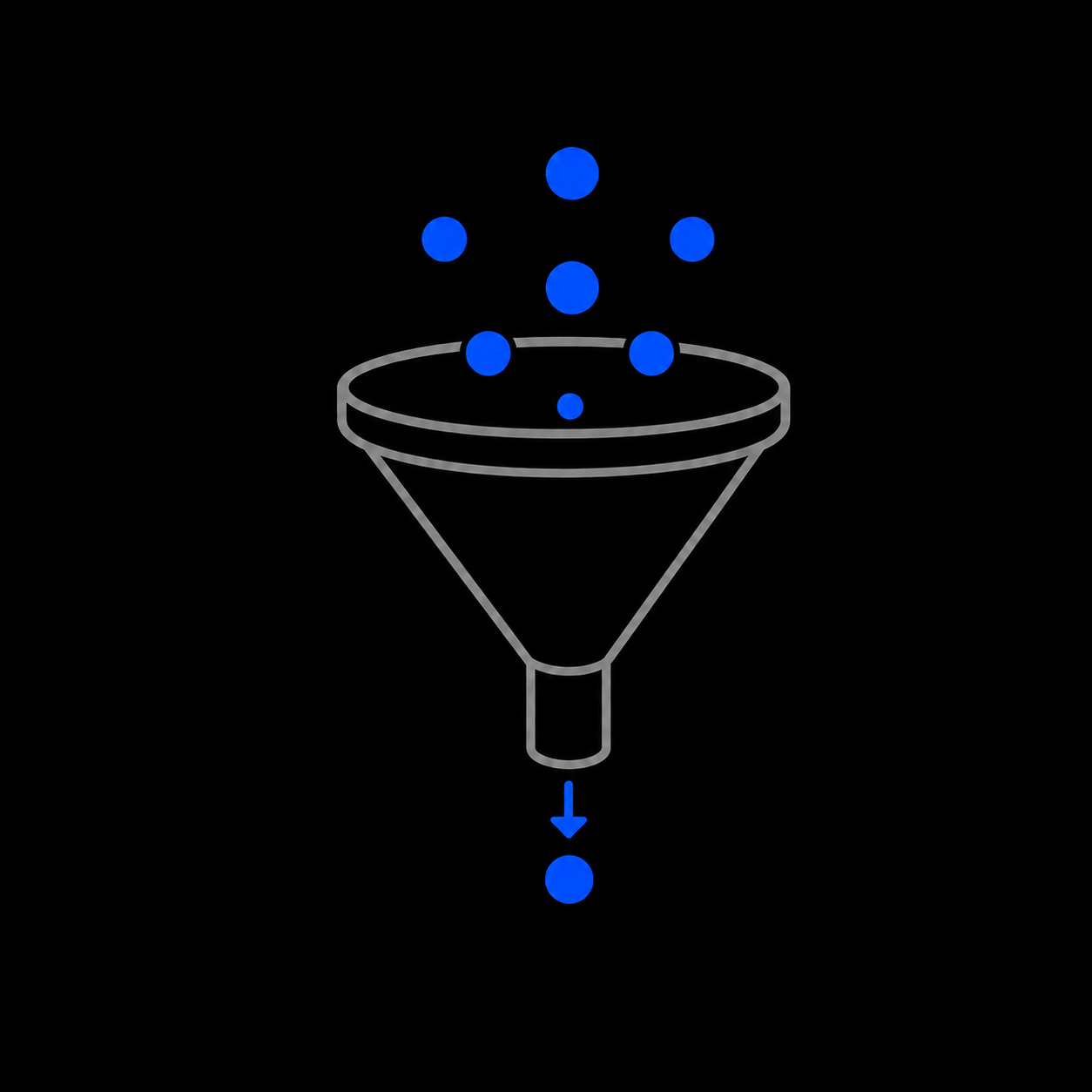
Filter-Based Estimation
Advanced EKF/ESKF algorithms for robust state estimation and drift reduction.
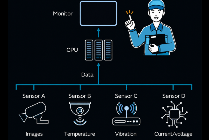
Advanced Sensor Fusion
Combines IMU, GNSS, barometer, and magnetometer data for enhanced accuracy.

Low-Latency Performance
Rapid navigation data processing and flight control response.
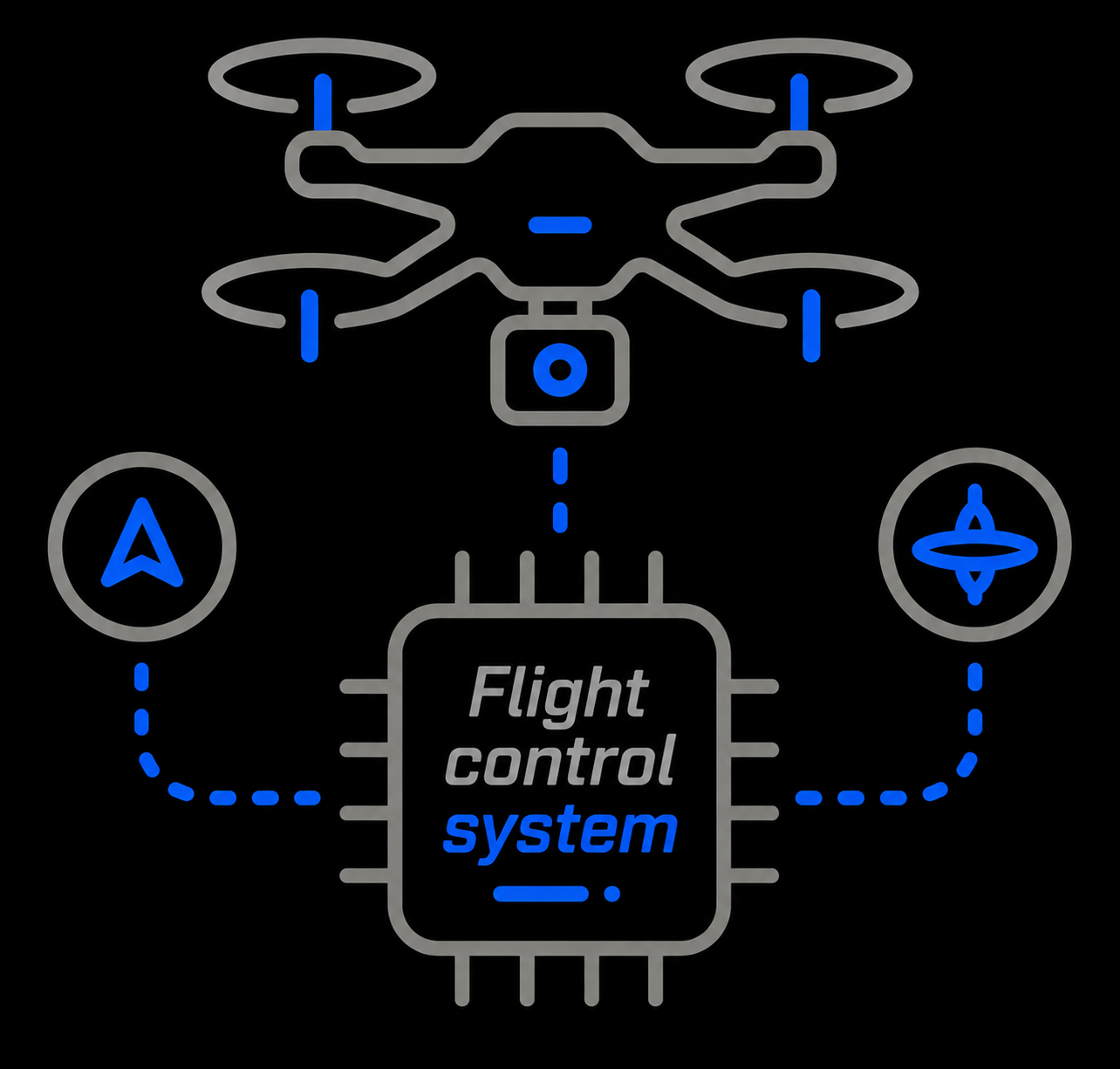
Seamless UAV Integration
Compatible with flight controllers.
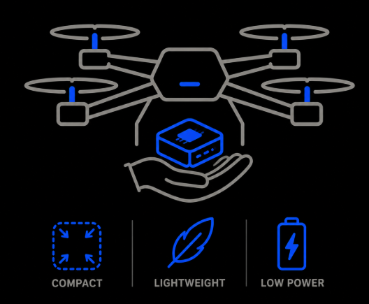
Compact & Lightweight
Low size, weight, and power for easy UAV deployment.
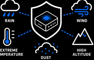
Rugged Environmental Performance
Built for demanding aerospace and UAV environments.
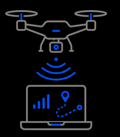
Real-Time Telemetry & Monitoring
QGroundControl support and host-based trajectory visualization.
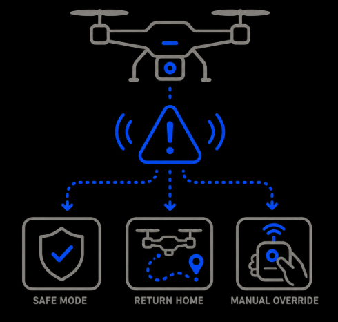
Fault Detection & Failsafe Support
Automatic fault handling, degraded-mode operation, manual override.
Sensor Fusion Engine
Four independent sensor streams are fused in real time into a single, drift-corrected navigation solution — then streamed out to power autonomous flight.
IMU
Accelerometers & gyroscopes for motion and attitude.
GNSS
Global positioning for absolute location fixes.
Barometer
Barometric pressure for precise altitude.
Magnetometer
Magnetic heading reference for orientation.
Autonomous UAV Operations
The fused solution powers surveillance, mapping, inspection, and mission-critical aerospace flight.
